Piri Reis Haritası
Keşif mirası
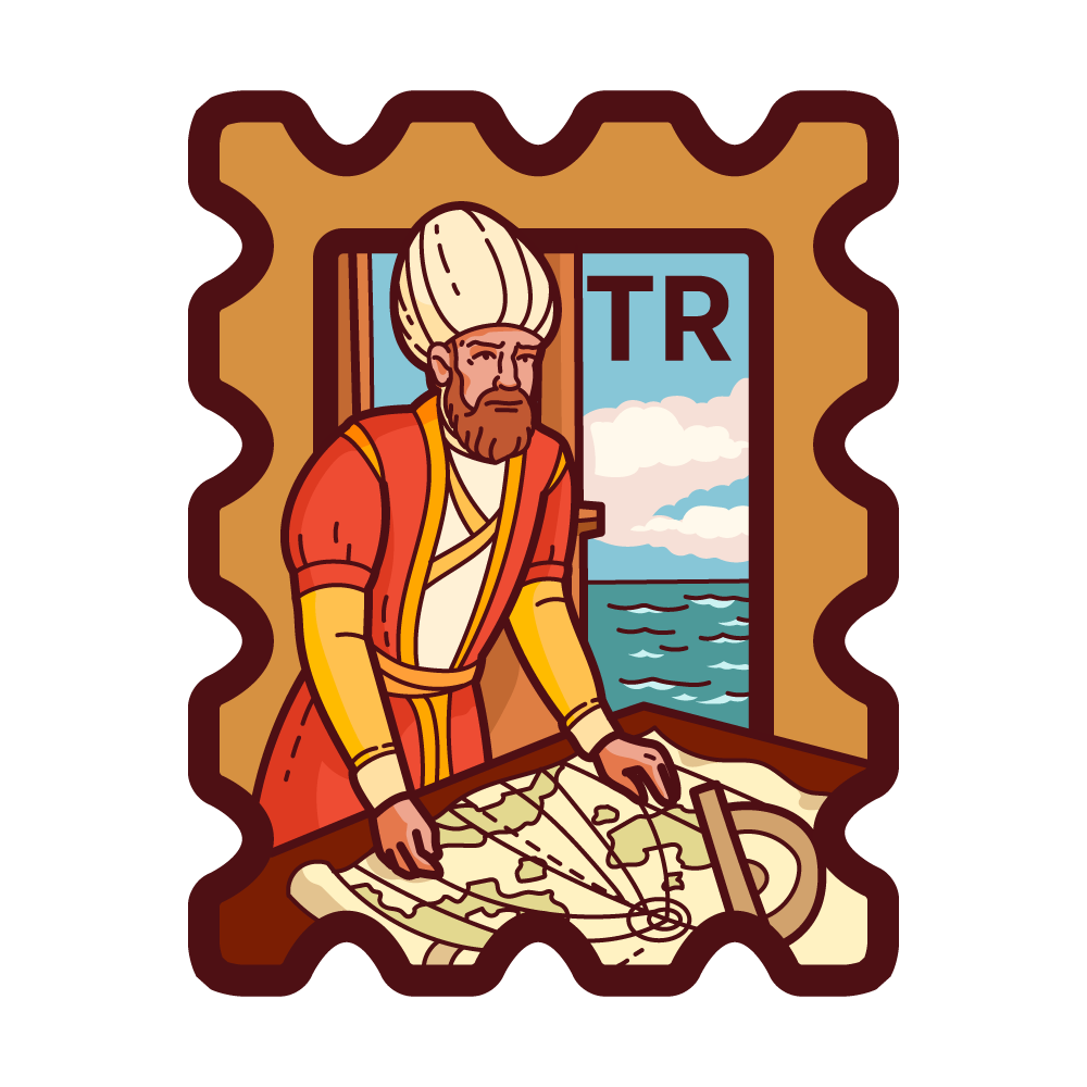
The Piri Reis Map is a unique world map created by the Ottoman admiral and cartographer Piri Reis in 1513. It is one of the oldest surviving maps showing the Americas, particularly parts of South America and the coast of Brazil. The map is famous for its accuracy and detail, using sources from ancient, medieval, and possibly unknown explorers.
- Türkiye Exclusive
- First Release Mar 27, 2025
- https://tr.wikipedia.org/wiki/Pîrî_Reis_Haritası
The stamp description may contain AI-generated text and inaccuracies. It is provided for reference only, primarily sourced from Wikipedia, UNESCO, and other reliable references.
Report an issue