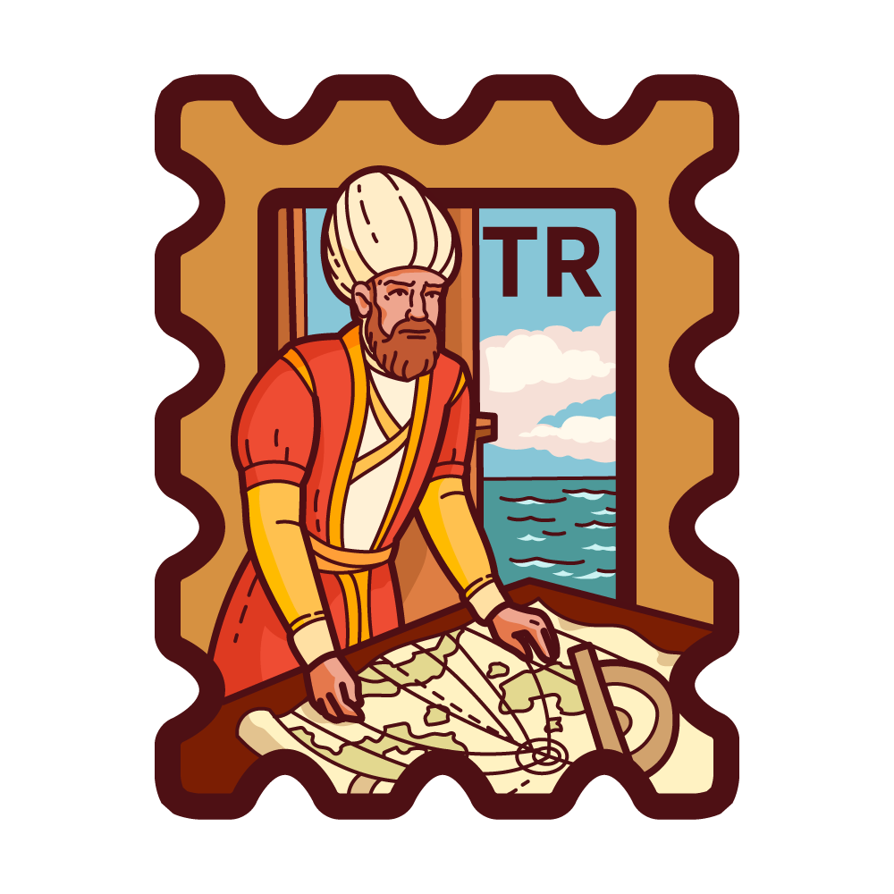
Piri Reis Haritası
La Mappa di Piri Reis è una mappa mondiale unica creata dall'ammiraglio e cartografo ottomano Piri Reis nel 1513. È una delle mappe più antiche giunte fino a noi che mostra le Americhe, in particolare alcune parti del Sud America e la costa del Brasile. La mappa è celebre per la sua precisione e dettaglio, utilizzando fonti da esploratori antichi, medievali e possibilmente sconosciuti.
- Turchia Esclusivo
- Rilascio Iniziale 27 mar 2025
- https://tr.wikipedia.org/wiki/Pîrî_Reis_Haritası
La descrizione del francobolli può contenere testo generato dall'AI e inesattezze. È fornito solo a scopo di riferimento, proveniente principalmente da Wikipedia, UNESCO e altre fonti affidabili. Traduzione fornita da OpenAI.
Segnala un problema